Where Safety Meets Expert Tree Service.


Kenmore Certified Arborist Reports
Written reports prepared by a certified arborist.
You may have a tree that leans more than it used to, a cracked limb over the driveway, or fungus at the base of the trunk. Maybe a neighbor, an insurer, or the city has asked for something in writing. In each case, a certified arborist report gives you a documented assessment instead of a guess.
A report records what the tree is, what condition it is in, and what, if anything, should be done. It can help you decide whether to prune, monitor, or remove, and it gives you something to hand to others who need to see the reasoning.
About Certified Arborist Reports in Kenmore
Our certified arborist reports provide expert documentation that helps homeowners make informed decisions about their property trees. Whether you need support for permitting or insurance purposes, our trained crews prepare clear records based on recognized standards. This service is designed to give you objective guidance when planning care or evaluating your landscape assets.
What Kenmore Certified Arborist Reports Includes
A certified arborist prepares written reports tailored to the specific needs of your site and tree species. These documents are created using methods that match local conditions, ensuring accurate assessment for property decisions or regulatory requirements. The final output offers a reliable record of findings backed by professional expertise.
Kenmore Certified Arborist Reports Process
We begin by gathering essential information about your trees and their surroundings before conducting a thorough inspection. Our team analyzes these observations against established objectives to develop clear recommendations included in the report. Finally, we review all findings with you to ensure you fully understand the results and next steps.
Equipment We Use for Kenmore Certified Arborist Reports
The work utilizes specialized diagnostic tools for measurement as well as mapping and imaging equipment when necessary. We also use professional documentation software to create precise reports that stand up to scrutiny. All crew members wear appropriate personal protective gear while operating these advanced assessment tools on your property.
Kenmore Certified Arborist Reports Safety & Best Practices
Our findings are always based strictly on observed evidence and recognized industry standards rather than assumptions. If an assessment has limitations or if uncertainty remains about certain conditions, we clearly disclose those factors in the report. We recommend follow-up actions whenever a situation requires further evaluation to ensure long-term safety for your trees.
Signs You Need Certified Arborist Reports in Kenmore
You may need this service when facing incomplete site history that complicates tree care planning or hidden defects you cannot see from the ground. Regulatory requirements often vary by jurisdiction, and our reports help navigate these complex rules effectively. Competing objectives on a property can also benefit from an expert analysis to prioritize what matters most for your landscape.
What Affects the Cost of Certified Arborist Reports in Kenmore
The price of this service is influenced by factors such as site complexity and variations in tree species found at the location. Access limitations around difficult-to-reach trees may require additional time or specialized approaches during the assessment phase. Additionally, if specialized diagnostic tools or mapping imaging are needed to fully understand a condition, these requirements will affect the overall cost.
Best Time of Year for Kenmore Certified Arborist Reports
Reports can generally be performed year-round given our favorable Puget Sound climate conditions for outdoor work. However, inspections conducted during wet seasons may require extra caution from our crew to ensure safe access and accurate assessment of hidden defects. We schedule visits when we believe they offer the best opportunity for a thorough evaluation while keeping everyone secure.
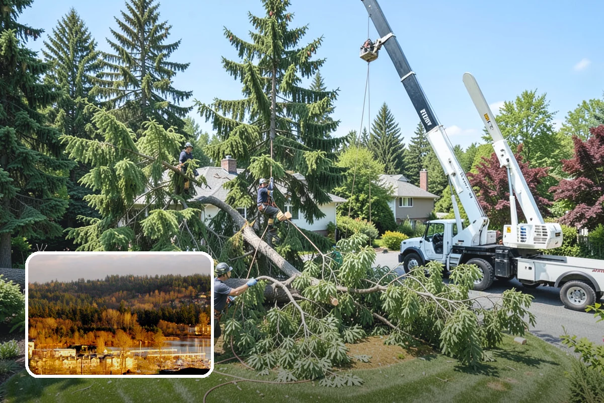
How a certified arborist report works in Kenmore
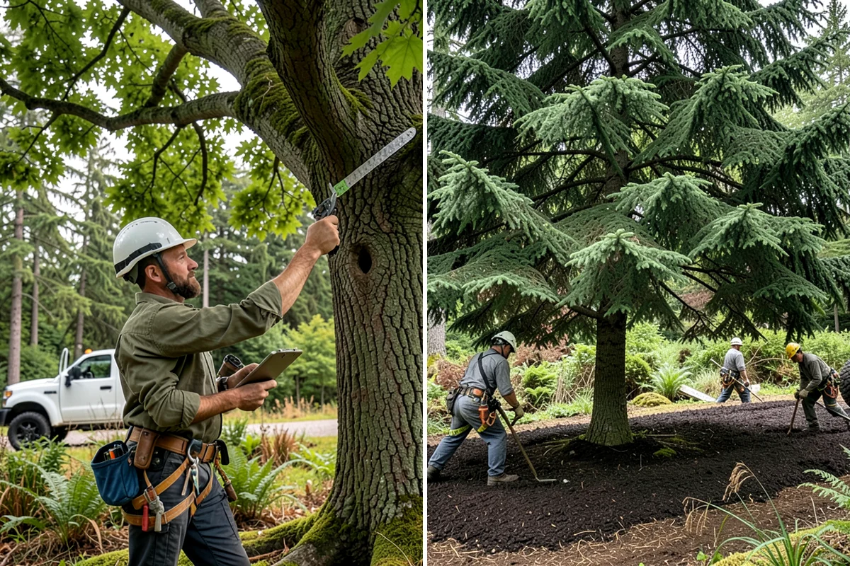
A report starts with a site visit. The arborist looks at the whole tree: the root flare, the trunk, the union points of major limbs, and the crown. They note species, size, and signs of decay, cracks, dead wood, pests, or past damage. They also look at what the tree could hit if a part failed, such as a house, a fence, a parked car, or a play area. That target is part of how risk is rated, so two similar trees can get different recommendations.
Local conditions shape what we look for. According to Daymet data for 2005 to 2025, 81% of Kenmore's yearly rain and snow falls from October to April. Soil stays wet for long stretches, and saturated soil holds roots less firmly. So on a Kenmore property we pay close attention to lean, heaved soil near the base, and roots that look cut or damaged. A tree that seems fine in July can behave differently after months of wet ground. That is a reason to schedule an assessment before the wet season rather than during it, though the report itself can be done any time of year.
The USDA map from 2023 places Kenmore in plant hardiness zone 9a, with parts of the city ranging from 8b to 9a. Zone is a measure of average winter lows. It tells us which species are likely to be well suited to a site, and it helps when judging whether a struggling ornamental is simply a poor match for its spot. It does not tell us the health of any one tree, which only an inspection can do.
The written report usually covers findings, a risk rating, and recommended actions, such as crown cleaning, reduction of a specific limb, cabling, or removal. Methods follow standard ISA practice, and we do not recommend topping. If the report points toward removal, we check with the city before work starts, because the published rules we found don't spell out clearly which removals need city approval. If you want an assessment, our ISA Certified Arborist can visit, and estimates are free. Call or text 425-484-4442.
Kenmore tree conditions at a glance
| Slopes | Some steep slopes |
|---|---|
| Landslides mapped by WA DNR | 4 |
| Soils | 51% of land has hardpan or another restrictive layer within 40 in; most common series Alderwood |
| Tree canopy | Among the most heavily treed Puget Sound cities (satellite data) |
| High and strong wind episodes, 2005-2025 | 33 in the forecast zone |
| USDA hardiness zone | 9a (8b to 9a across the city) |
Tree removal rules in Kenmore
Kenmore’s published rules don’t spell out clearly which removals need city approval. We check with the city before work starts.
Sources: Daymet daily weather (NASA/ORNL), NOAA Storm Events, USDA plant hardiness map 2023, NRCS soil survey, USGS elevation, WA DNR landslide inventory, USDA Forest Service aerial survey, WSDA, city tree assessments and street-tree inventories, SILVIS Lab, Arbor Day Foundation, and official city and utility pages.
Certified Arborist Reports Serving Kenmore
Kenmore
Certified arborist reports in nearby areas
Also serving Kenmore
- Xeriscaping in Kenmoreat Washington Landscaping