Where Safety Meets Expert Tree Service.

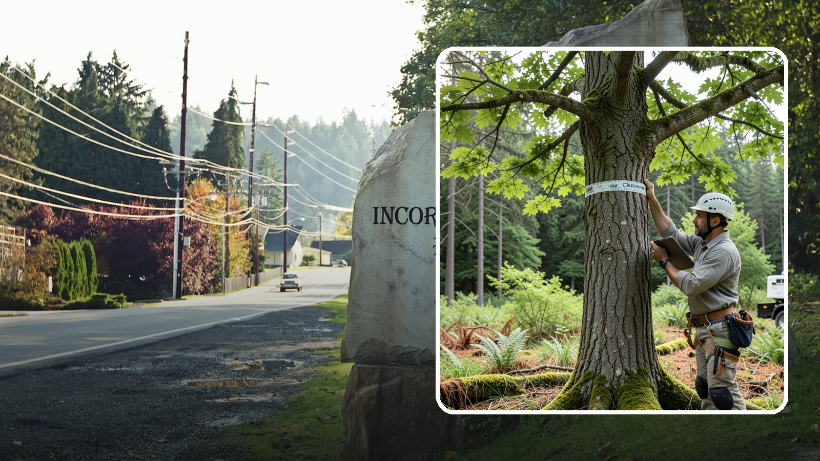
Wilkeson Drone Tree Inspections
The aerial inspection of trees using a drone.
The best time for a drone tree inspection in Wilkeson is late fall through winter, once the leaves are down on deciduous trees. Bare branches let the camera show cracks, dead limbs, decay pockets and weak unions that summer foliage hides. Conifers can be flown any time of year.
A drone inspection gives you a close look at the upper crown without anyone climbing. It works well on tall trees, on slopes and in tight spots. You get photos to review, and a clearer idea of whether a tree needs pruning, monitoring or a closer check from the ground or by climbing.
About Drone Tree Inspections in Wilkeson
Drone tree inspections offer a safe way to see your trees from above without climbing or damaging branches. This aerial assessment helps homeowners understand the health of their canopy and plan for long-term care. It is designed for anyone who needs an objective look at hard-to-reach areas that ground-level views miss.
What Wilkeson Drone Tree Inspections Includes
This service provides an aerial inspection using a drone to evaluate the upper parts of trees safely. Our trained crews follow recognized arboricultural standards while tailoring their methods to your specific tree species and site conditions. The process includes gathering data, assessing current health, and creating clear documentation for permits or insurance needs.
Wilkeson Drone Tree Inspections Process
We begin by collecting information about your property and individual trees before moving into the inspection phase. After analyzing our findings against established objectives and standards, we prepare straightforward recommendations tailored to your goals. Finally, we review these reports with you so you can make informed decisions about prioritizing care and budgeting for maintenance.
Equipment We Use for Wilkeson Drone Tree Inspections
Our crews utilize specialized diagnostic and measurement tools alongside mapping and imaging equipment as needed. We also use professional documentation and reporting software to ensure every finding is recorded accurately. All work is conducted while wearing necessary personal protective gear to keep everyone safe on site.
Wilkeson Drone Tree Inspections Safety & Best Practices
Every assessment relies strictly on observed evidence and recognized industry standards rather than guesswork. If there are limitations in what we can see or know, we will clearly disclose them before finalizing our report. We always recommend follow-up steps whenever uncertainty remains regarding the condition of a tree or its surroundings.
Signs You Need Drone Tree Inspections in Wilkeson
You may need this service if you suspect hidden defects high up in your canopy that cannot be seen from the ground. Situations involving incomplete site history, competing objectives for land use, or varying regulatory requirements also call for an aerial check. This inspection is particularly useful when planning projects where accurate documentation of tree conditions is required.
What Affects the Cost of Drone Tree Inspections in Wilkeson
The price depends on factors such as the species present at your location and how difficult it is to access certain areas. Site conditions and specific access needs will influence the complexity of assessing hard-to-reach sections within the upper canopy. These variables determine the scope of work rather than a fixed rate, ensuring we address exactly what you need.
Best Time of Year for Wilkeson Drone Tree Inspections
Inspections can be scheduled year-round since our methods adapt to seasonal changes in foliage around Puget Sound trees. We adjust our approach based on how leaves and branches shift throughout the seasons to ensure defects remain visible for accurate assessment. This flexibility allows us to evaluate your trees whenever they are most accessible for a clear view of their condition.
Planning a drone tree inspection in Wilkeson
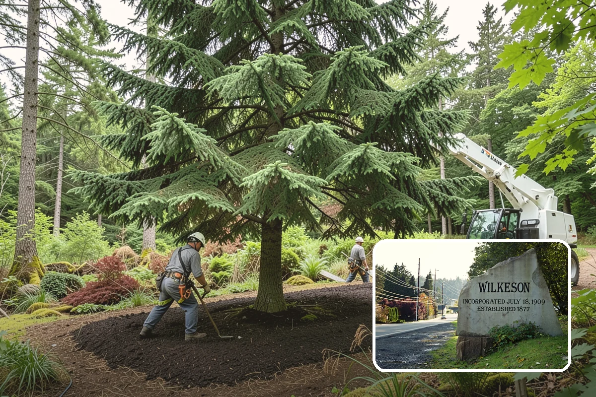
Two local details shape how we plan this work. First, USGS elevation data shows Wilkeson has a lot of steep ground compared with other Puget Sound cities. On a slope, a tree's crown is often hard to see from where you can safely stand. A drone can view it from several angles without anyone scrambling up a hillside. Slope also affects where we can launch and land, so tell us where the trees sit relative to the house, driveway and any drop-offs.
Second, satellite data puts about 51% of Wilkeson's land under dense tree cover, meaning 50% canopy or more. That is a citywide figure, not a statement about your lot. It does suggest that many properties have trees close together, with crowns that overlap or lean over structures. Overlapping crowns can block the drone's view and limit the flight path, so we plan the angles before the day.
What affects the scope
The number of trees, their height, and how close they stand to buildings, power lines and neighbors all matter. So does the question you want answered. Checking one large fir over the house is a different job from surveying a wooded slope behind the property. Tell us your concerns, such as a leaning trunk, a storm-damaged top or dead branches over a path.
What to expect on the day
We walk the site with you first and agree which trees to inspect. The drone then flies around each crown while we capture photos and video of the trunk, branch unions and canopy. Flights usually depend on weather, and wind or heavy rain can mean rescheduling. Afterward we go over what the images show. If something looks serious, the next step might be a ground-level assessment or a climb for a hands-on check. If the work involves removal, we check with the city before work starts, because rules can apply.
Practical tip: before the visit, tie ribbon or flagging on the trees you are most concerned about, and note on a sketch where the slope drops off. It saves time and keeps the inspection focused.
Wilkeson tree conditions at a glance
| Slopes | More steep ground than most Puget Sound cities |
|---|---|
| Soils | 37% of land has hardpan or another restrictive layer within 40 in; most common series Indianola; 61% well drained |
| Tree canopy | Among the most heavily treed Puget Sound cities (satellite data) |
| High and strong wind episodes, 2005-2025 | 40 in the forecast zone |
| USDA hardiness zone | 8b |
Tree removal rules in Wilkeson
Wilkeson’s published rules don’t spell out clearly which removals need city approval. We check with the city before work starts.
Sources: Daymet daily weather (NASA/ORNL), NOAA Storm Events, USDA plant hardiness map 2023, NRCS soil survey, USGS elevation, WA DNR landslide inventory, USDA Forest Service aerial survey, WSDA, city tree assessments and street-tree inventories, SILVIS Lab, Arbor Day Foundation, and official city and utility pages.
Drone Tree Inspections Serving Wilkeson
Wilkeson

Drone tree inspections in nearby areas
Also serving Wilkeson
- Landscape Consultation in Wilkesonat Washington Landscaping