Where Safety Meets Expert Tree Service.


Puyallup Trail Clearing
The clearing and maintenance of trails and paths.
The best time to plan trail clearing in Puyallup is late winter or early spring, before new growth fills in the path. Brush is easier to see when the leaves are down, and you can walk the route and mark where the trail has narrowed or where branches hang low.
A cleared trail is more than a cut path. It needs a clear width, enough headroom, and a surface that drains. Walking the route first, with a few ideas about who uses it, helps you decide what the job should cover and what can wait.
About Trail Clearing in Puyallup
Our trail clearing service helps keep your paths safe, passable, and ready for use throughout the property. We work closely with homeowners who want clear access while managing overgrown vegetation on their land. This approach ensures that trails remain functional without compromising nearby trees or features.
What Puyallup Trail Clearing Includes
Trail clearing focuses specifically on maintaining existing trails and paths to ensure they are safe for travel. The process includes removing dense growth, controlling invasive species, and preparing the ground as needed. We match our methods to local tree conditions and site accessibility to deliver effective results.
Puyallup Trail Clearing Process
Our trained crews begin by assessing your specific site and marking important features that must be protected during work. Vegetation is then cleared in a planned sequence to maintain stability while removing debris responsibly. Finally, we grade or tidy the area as required before hauling equipment leaves the property with all waste materials.
Equipment We Use for Puyallup Trail Clearing
We utilize brush cutters, chainsaws, chippers, and hand tools tailored to the specific vegetation on your site. Hauling equipment is brought in only when ground conditions allow for safe transport over uneven terrain. All crew members wear personal protective gear while operating these machines or using manual tools.
Puyallup Trail Clearing Safety & Best Practices
Safety starts with identifying property lines, utility locations, and any features that need retention before work begins. Our team stays alert to uneven terrain and hidden obstacles that could create hazards during clearing operations. We take extra care to protect retained trees and their root zones while managing debris to prevent accidents.
Signs You Need Trail Clearing in Puyallup
You may need trail clearing if you notice dense or thorny growth blocking your usual paths along the property. Signs of invasive species regrowing quickly, uneven ground becoming impassable, or wet areas causing access issues are also indicators. If protected features like trees or structures require careful navigation around overgrown sections, this service is appropriate for you.
What Affects the Cost of Trail Clearing in Puyallup
The final cost depends on how dense and thorny the vegetation is across your specific trail system. Factors such as invasive species regrowth rates and uneven or wet terrain conditions will influence the time required to complete the job. Additionally, any special measures needed to protect site features during clearing are taken into account when determining pricing.
Best Time of Year for Puyallup Trail Clearing
Scheduling work for trail clearing should consider local rainfall patterns that might make hauling equipment difficult on your property. We aim to begin projects only when ground conditions allow our vehicles and machinery to access uneven or wet terrain safely. Planning around these seasonal factors ensures efficient completion while minimizing disruption to your land use.
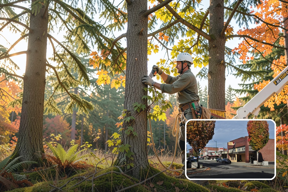
Planning trail clearing on your Puyallup property
Start by walking the trail from end to end. Note where brush crowds the edges, where branches hang over the path, and where fallen limbs or small trees block the way. Flag spots with tape so the scope is clear before anyone starts cutting.
Decide the width and headroom
A footpath needs less room than a trail used with a mower, a cart or a utility vehicle. Pick the width and the overhead clearance for the heaviest use you expect, then clear to that standard along the whole route. Mixed widths tend to grow back unevenly.
What affects the scope
Density of brush, the number of overhanging limbs, slope, and how close the trail runs to larger trees all change the work. Standard practice is to prune branches back to the branch collar or to a suitable lateral, not to cut stubs or top trees. Larger limbs over the path may call for an arborist's judgment on what to remove and what to leave.
Local figures give some context. OpenStreetMap lists 44 parks and nature reserves in Puyallup, about 167 hectares. Satellite data shows about 19% of the city's land under dense tree cover, meaning 50% canopy or more. Those are citywide numbers, not a reading of your property. They do suggest that wooded ground is a real part of the city, so check where your trail runs, including near property lines or any public land, before work begins. If a rule might apply to the trees involved, we check with the city before work starts.
The USDA lists Puyallup in plant hardiness zone 8b (2023 map). In practice, that means vegetation can regrow vigorously once cleared, so plan for follow-up trimming.
What to expect on the day
Expect a walk-through of the flagged route, then cutting, chipping or hauling of debris, and a final pass along the path. Keep pets and children away from the work area. Mark any irrigation lines, drains or low spots beforehand.
Practical tip: take dated photos of the trail before and after. They make it easy to judge regrowth next season and to plan the next trim.
Puyallup tree conditions at a glance
| Homes in the wildland-urban interface | 0% |
|---|---|
| Land under dense tree cover (50%+ canopy) | 19% |
| Rain and snow falling October to April | 81% of the year’s total |
Tree removal rules in Puyallup
Significant tree protections do not apply to lots containing single-family, duplex, triplex or up to four-unit residential development unless the tree is in a critical area. A permit is required on such lots only if the tree is on the City's Heritage Tree register, or is within or associated with a critical area (wetland/buffer, steep slope, stream buffer, habitat area/greenbelt). Significant trees are regulated on commercial, industrial, institutional and multifamily (5+ units) property.
Regulated size: Healthy, living tree greater than 15 in DBH (black cottonwood and red alder not typically regulated unless in a critical area).
Official city source. Rules change; we confirm with the city before work starts.
Tree health near Puyallup
Spongy moth (WSDA 2017): WSDA trap detection(s): 27 moth(s) in 13 trap catch record(s).
Spongy moth (WSDA 2012): WSDA eradication treatment (Btk).
- Decline, cause not identified1,101 ac
- Douglas-fir engraver273 ac
- Bears100 ac
Forest damage mapped from the air within 10 km of Puyallup, 2021-2025 (USDA Forest Service and WA DNR). This covers forest land, not street or yard trees. “Decline, cause not identified” is dieback with no single cause found.
Sources: Daymet daily weather (NASA/ORNL), NOAA Storm Events, USDA plant hardiness map 2023, NRCS soil survey, USGS elevation, WA DNR landslide inventory, USDA Forest Service aerial survey, WSDA, city tree assessments and street-tree inventories, SILVIS Lab, Arbor Day Foundation, and official city and utility pages.
Trail Clearing Serving Puyallup
Puyallup
Also serving Puyallup
- Debris Removal in Puyallupat Washington Landscaping
- Site Clearing in Puyallupat Washington Construction
- Aquatic Weed Control in Puyallupat Washington City Services
- On-Site Firewood Milling in Puyallupat Washington Firewood