Where Safety Meets Expert Tree Service.

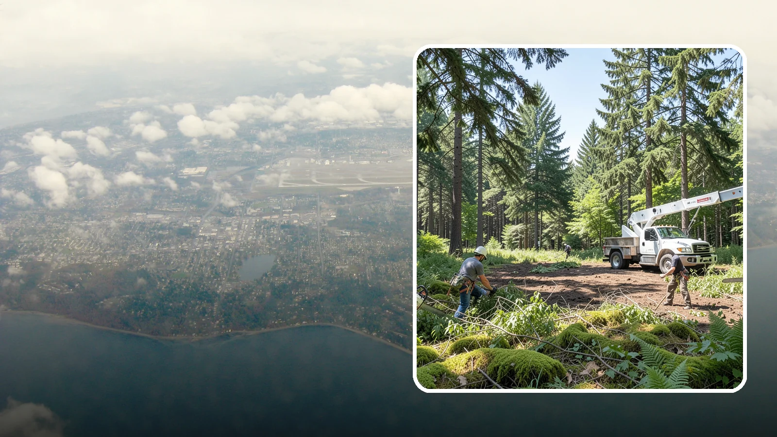
Burien Underbrush Clearing
The clearing of understory growth beneath trees.
Underbrush clearing suits Burien properties with a wooded back lot, a overgrown slope, or a fence line swallowed by blackberry, ivy and young saplings. It also fits owners who want to see their trees clearly before deciding on pruning or removal.
The work removes low, dense growth under and between trees. The goal is more open ground, easier access and a clearer view of what is growing on the property. Below are the main ways to approach it and when each one makes sense.
About Underbrush Clearing in Burien
Underbrush clearing helps homeowners manage the growth beneath their trees to create safer, more usable outdoor spaces. This essential land-clearing work reduces fire risks while improving access across your property for daily activities or future projects. We are here to assist with removing dense vegetation that may have become overgrown or invasive on your lot.
What Burien Underbrush Clearing Includes
Our underbrush clearing service focuses specifically on the understory growth found beneath existing trees and shrubs. By carefully cutting back this lower layer of plants, we reduce fuel loads to help prevent fire spread and enhance visibility throughout your yard. The process also allows us to control unwanted invasive species that might otherwise take over difficult areas of your landscape.
Burien Underbrush Clearing Process
We begin by assessing the site and marking important features like property lines or utilities that need protection during clearing. Our trained crews then remove vegetation in a planned sequence, using hand tools and machinery matched to specific tree species and ground conditions. After clearing is complete, we process and haul away debris responsibly while tidying the area as needed for your next steps.
Equipment We Use for Burien Underbrush Clearing
To handle various site conditions effectively, our teams utilize brush cutters, chainsaws, chippers, and specialized hauling equipment. Hand tools are often employed to navigate tight spaces or delicate areas where larger machines cannot go safely. All crew members wear personal protective equipment while operating these powerful tools to ensure a safe working environment for everyone involved.
Burien Underbrush Clearing Safety & Best Practices
Safety is our priority as we identify property lines, underground utilities, and natural features that must be retained during the work. We stay alert to uneven terrain or hidden obstacles that could become hazards if debris shifts unexpectedly throughout the clearing process. Our methods are designed specifically to protect your retained trees and root zones while managing waste away from active areas of your home.
Signs You Need Underbrush Clearing in Burien
You may need this service when you notice dense, thorny growth making it difficult to walk through parts of your yard or garden. If invasive species keep regrowing despite previous efforts, or if wet ground makes access challenging after rainstorms, underbrush clearing can restore order. This work is also recommended whenever you want to reduce fire fuel around your trees and improve overall site usability for family use.
What Affects the Cost of Underbrush Clearing in Burien
The final cost depends on the density of vegetation present in the understory area rather than a fixed price per square foot. Factors such as thorny growth, specific invasive species management requirements, and uneven terrain conditions will influence how much work is needed. Additionally, the volume of debris generated and its disposal needs play a significant role in determining the overall project cost for your property.
Best Time of Year for Burien Underbrush Clearing
While this service can generally be performed year-round in our region, wet seasons may require special equipment or adjusted timing to manage access on saturated ground. We plan projects carefully so that we do not work when the soil is too soft or slippery near uneven areas of your lot. If you have specific concerns about weather conditions during a planned project window, please discuss them with us before starting any work.
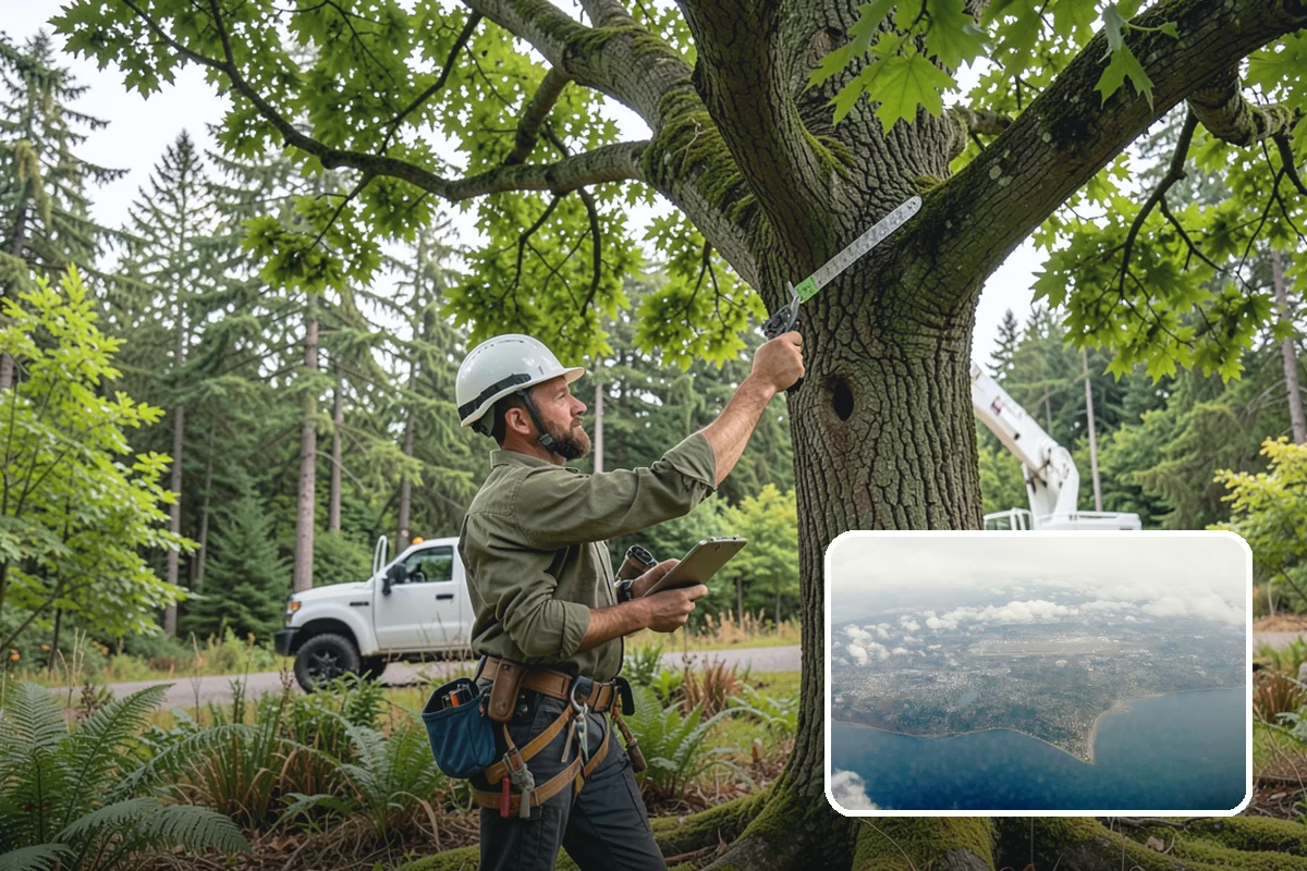
Choosing a clearing method for your Burien property
There is more than one way to clear underbrush. The right choice depends on the ground, the plants and what you want the area to become.
The options
- Hand cutting with loppers, saws and string trimmers. Best for small areas, tight spots near trunks, and ground where you want to keep desirable shrubs or young native trees.
- Brush cutters and mowers. Suited to larger, fairly level areas with thick, woody growth.
- Cut and treat, or repeated cutting. Aggressive plants like blackberry and ivy often regrow from roots, so a single cut rarely ends the problem. Follow-up visits or ground cover planting help hold the space.
What local conditions favor
USGS elevation data shows Burien has some steep slopes, though fewer than the hilliest Puget Sound cities. On a slope, roots of shrubs and groundcover help hold soil. That favors selective hand work over clearing everything down to bare dirt. Leaving some rooted plants, or replanting soon after, is standard practice on sloped ground.
Satellite data shows about 16% of Burien's land is under dense tree cover, meaning 50% canopy or more. That is a citywide figure, not a measure of any one yard. If your lot sits under heavy canopy, the underbrush is likely growing in shade. Hand cutting around tree roots is gentler than machines, which can scar trunks and compact soil.
Fire exposure is modest here. A 2020 SILVIS Lab analysis puts about 2% of Burien's homes in the wildland-urban interface, where homes meet wildland vegetation. Clearing is more often about access, pests, and tidiness than fire risk.
If the work might touch trees or a steep area, we check with the city before work starts. Our ISA Certified Arborist can walk the site and suggest a method, and estimates are free.
Burien tree conditions at a glance
| Homes in the wildland-urban interface | 2% |
|---|---|
| Land under dense tree cover (50%+ canopy) | 16% |
| Slopes | Some steep slopes |
| Landslides mapped by WA DNR | 43 |
| Rain and snow falling October to April | 83% of the year’s total |
Tree removal rules in Burien
Minor Tree Removal Permit required to: remove an exceptional tree; remove more than the annual allowance (1 tree per year; more allowed on lots over 5,000 sq ft per Table 19.26.060-1).
Regulated size: 6 in. diameter at 4.5 ft above ground.
Official city source. Rules change; we confirm with the city before work starts.
Tree health near Burien
Spongy moth (WSDA 2022): WSDA trap detection(s): 1 catch record(s) listed (per-trap counts not given).
- Decline, cause not identified628 ac
- Douglas-fir beetle29 ac
Forest damage mapped from the air within 10 km of Burien, 2021-2025 (USDA Forest Service and WA DNR). This covers forest land, not street or yard trees. “Decline, cause not identified” is dieback with no single cause found.
Sources: Daymet daily weather (NASA/ORNL), NOAA Storm Events, USDA plant hardiness map 2023, NRCS soil survey, USGS elevation, WA DNR landslide inventory, USDA Forest Service aerial survey, WSDA, city tree assessments and street-tree inventories, SILVIS Lab, Arbor Day Foundation, and official city and utility pages.
Underbrush Clearing Serving Burien
Burien

Underbrush clearing in nearby areas
Also serving Burien
- Land Leveling in Burienat Washington Landscaping
- Structure Demolition in Burienat Washington Construction
- Scotch Broom Removal in Burienat Washington City Services
- Storm Wood Processing in Burienat Washington Firewood